Our Services
Experience high-resolution Orthophotographs, Digital Terrain Models, Digital Twins, Volumetric Assessments, and more, delivered in industry-standard GIS, BIM and CAD formats.
A Multi-Disciplinary Geomatics Firm Serving Western Canada
UAV Drone Surveys - Alberta, Saskatchewan, B.C.
Drone Aerial Surveys
Drone Aerial Surveys
You've likely explored the idea of using drones before. But let's be honest - managing an in-house crew, staying updated on regulations, evolving technology, and operating costs isn't easy. That's where we come in. Partnering with Acuvec means you reap all the benefits without the hassle. It's a win-win situation - you get top-quality data without breaking the bank or dealing with the red tape.
Aerial Drone Surveys
Our aerial drone surveys yield high-resolution (3cm GSD) orthomosaics, dense point clouds, Digital Surface Models (DSM), and Digital Terrain Models (DTM), exportable to diverse CAD formats for detailed design and planning.

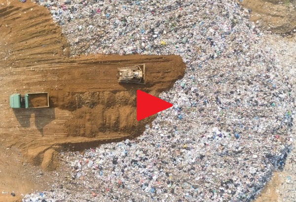
Aerial Landfill Surveys
Leveraging UAV survey technology, Acuvec Geospatial safely operates our UAV drones, creating precise 3D CAD models to accurately measure landfill Sites. Yielding high-resolution data in diverse CAD formats.

Aerial Stockpile Surveys
We can support you in surveying challenging stockpiles, generating precise and reliable data for quantity analysis. Our services ensure accuracy and confidence, contributing to informed decision-making in your projects.

Aerial Quarry Surveys
Leveraging UAV technology, our team optimizes drone surveying for quarries, ensuring efficient data collection. This boosts precision in 3D modeling, facilitating accurate measurements and enhancing quarry site management for optimal operations.

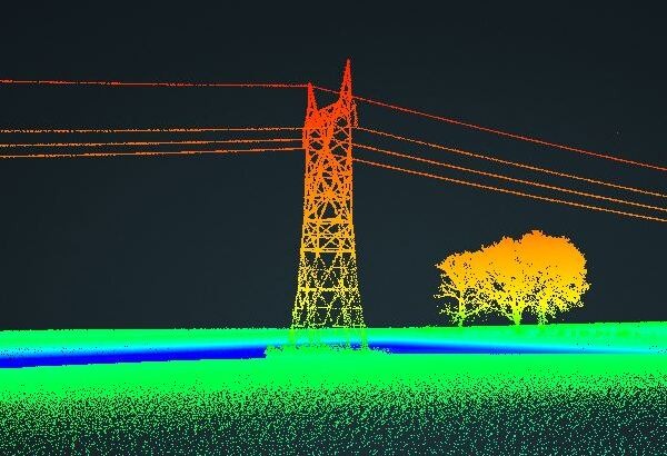
Aerial LiDAR Surveys
A UAV-based LIDAR offers a distinct advantage by penetrating vegetation, accurately capturing ground surfaces, and generating detailed Digital Elevation Models (DEMs). The fusion of LIDAR technology with aerial drones ensures efficient spatial data collection.

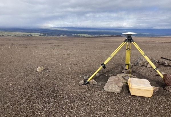
Survey Control Points
Acuvec excels in crafting, developing, and analyzing horizontal and vertical control networks through both GPS and traditional surveying methods. Additionally, we offer GPS base stations and Ground Control Points to enhance accuracy in aerial surveys.


Precision in Every Pulse: Unveiling the World with Technology


