Agisoft Metashape & TCP Pointcloud Editor
We are Resellers for Agisoft Metashape and TCP Pointcloud Editor in USA and Canada - Your preferred choice for 3D reconstruction, visualization, surveying, and mapping needs.
Acuvec Geospatial offers Unbeatable Prices for Agisoft Metashape in USA and Canada. Metashape is a stand-alone software, designed for photogrammetric processing of digital images, poducing 3D spatial data suitable for applications in GIS, Engineering, Cultural heritage documentation, Visual effects production, and Indirect measurements of objects across diverse scales.
Metashape is a proprietary software solution provided electronically along with documentation. Following order processing, a registration code will be sent via email, enabling the trial Metashape version into a fully featured registered one. Acuvec provides Perpetual, Rehostable Node-locked and Floating network licenses for Metashape, and it's important to note that the license does not come with any time limitations. The Metashape license includes 12-months of email-based technical support and gives the licensee access to free software updates up to version 2.x.x (refer to the current released version number on the Installer page).
The transition from PhotoScan to Metashape comes at no extra cost, providing a seamless and complimentary update for licensed users. Additionally, Agisoft Metashape licenses are fully compatible with prior versions of Agisoft PhotoScan. No additional payments are necessary for this upgrade. Please contact us at info@acuvec.com to get a Quote.
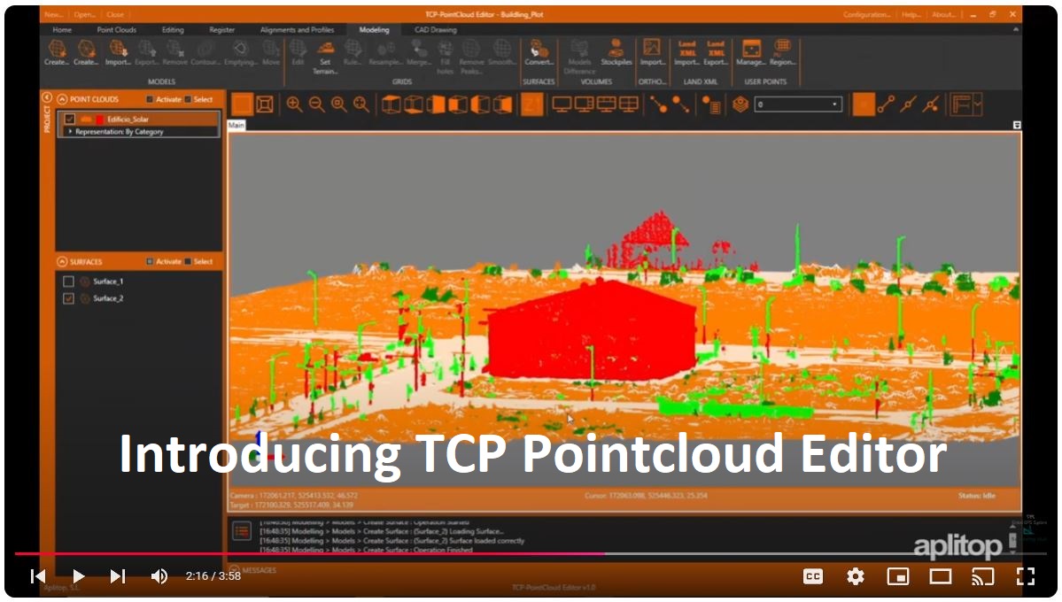
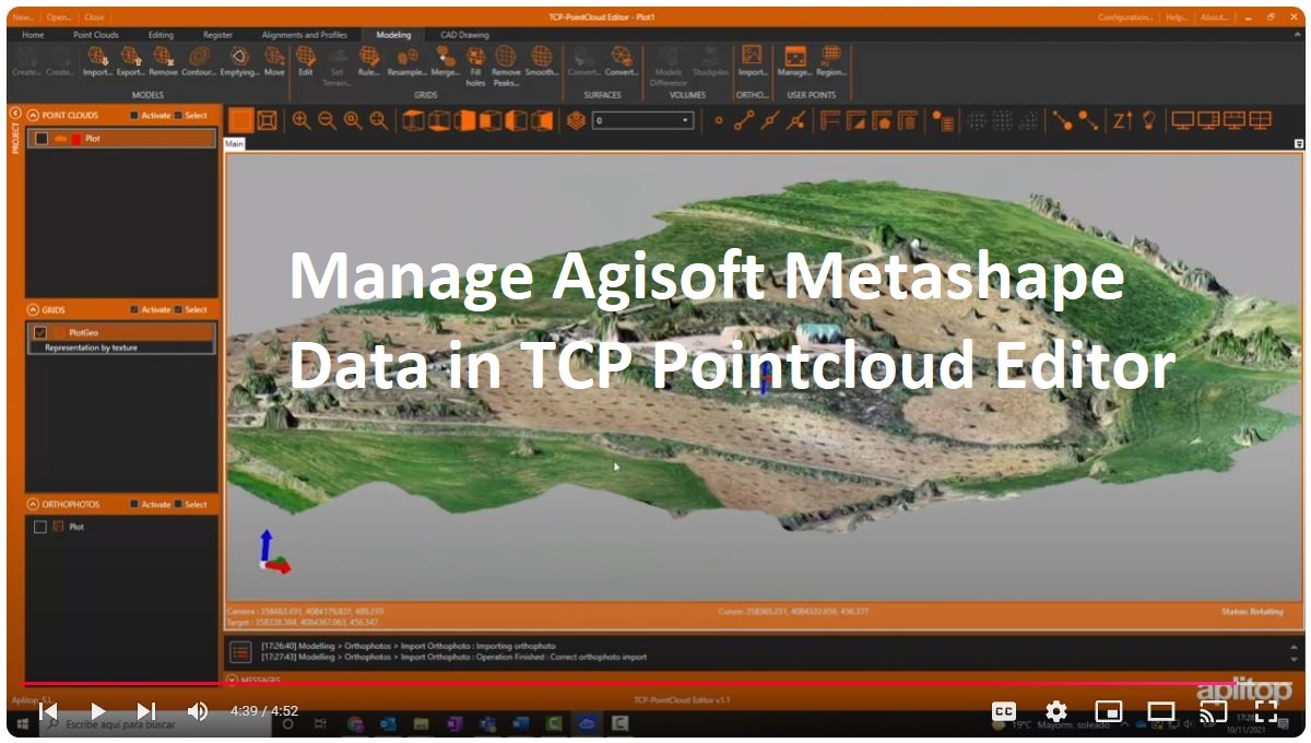
TCP Pointcloud Editor complements Agisoft Metashape by managing complex 3D datasets with ease. Designed for engineers, surveyors, and anyone working with point clouds, this user-friendly software streamlines your projects without sacrificing power or precision.
What Does It Do? - E
xtract Valuable Insights from Massive Datasets.
The TCP Pointcloud Editor helps you visualize, process, and extract valuable insights from massive datasets with ease. Whether you're creating detailed terrain models, analyzing infrastructure, or preparing 3D meshes, this software is here to save you time and hassle.
Who's It For? - A
nyone Looking to Turn Raw 3D Scan Data into Actionable Results!
From surveyors mapping terrain to civil engineers modeling infrastructure, TCP Pointcloud Editor caters to professionals across industries. It’s perfect for anyone looking to turn raw 3D data into actionable results - quickly and accurately.
Features You'll Love:
- Imports clouds from standard formats and represents them by attributes such as color, intensity, category, etc.
- Edit, analyze, and classify points according to various criteria.
- Data Filtering - Remove noise and focus on what matters most.
- Generate 3D surfaces or meshes and calculate volumes.
- Easily and intuitively measure and draw on the cloud or 360° image.
- Create profiles in plan and elevation.
- Easily manage geotags.
- Optimize productivity with advanced features such as automatic vectorization.
- Import images from Leica Geosystems E57 and LGSx files.
- Synchronize your work in real time with AutoCAD®, BricsCAD®, GstarCAD® or ZWCAD®.
- Share your results in standard formats such as DWG, 3D PDF, IFC, etc.
- Use the web viewer to publish your projects to the cloud and view them from any device.
Why Choose Aplitop TCP Pointcloud Editor?
- Fast and Intuitive: Navigate and edit even large datasets effortlessly.
- Smart Tools: Filter, classify, and analyze your data with advanced yet approachable features.
- Versatile: Import and export data in multiple formats, making it compatible with your favorite tools.
- Accurate Outputs: Generate highly detailed deliverables like contours, cross-sections, and volume calculations.
Try It Today!
Ready to elevate your point cloud processing? Explore how Aplitop TCP Pointcloud Editor can transform your workflow. Contact us for a free demo or consultation, and see how easy it is to get started. Let’s make complex data simple - together!